Geospatial surveying refers to the process of gathering precise data about the physical environment and locations on the earth's surface. It involves integrating field measurements with geographic information systems (GIS) and other mapping technologies.
Key aspects of geospatial surveying include:
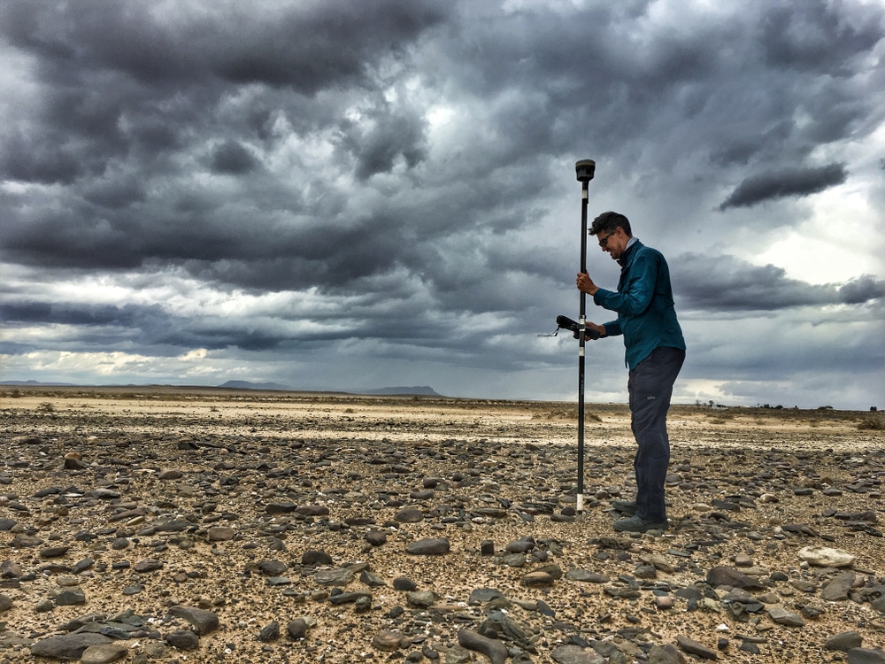
Geospatial surveying requires use of advanced technologies like global navigation satellite systems (GNSS), robotic total stations, 3D laser scanners, and unmanned aerial vehicles (UAVs).
The accurate data gathered through geospatial surveys serves many purposes including infrastructure and construction planning, navigation, urban development, mining, natural resource management, and more. It provides critical environmental intelligence.