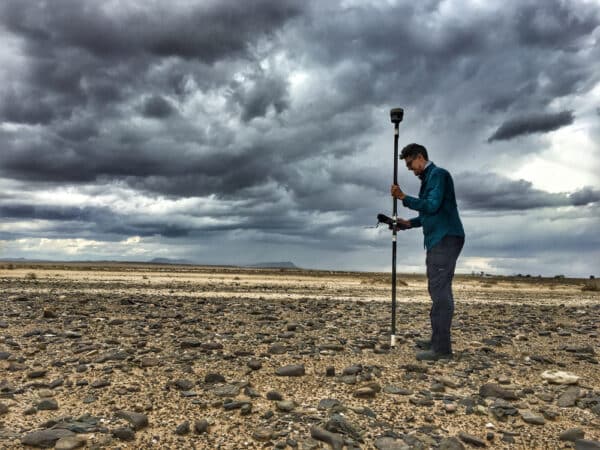
What is Geospatial Surveying?
Geospatial surveying refers to the process of gathering precise data about the physical environment and locations on the earth’s surface. It involves integrating field measurements with geographic information systems (GIS) and other mapping technologies. Key aspects of geospatial surveying include: Land Surveying – Measuring and mapping the landscape in detail, including natural and manmade features. […]
