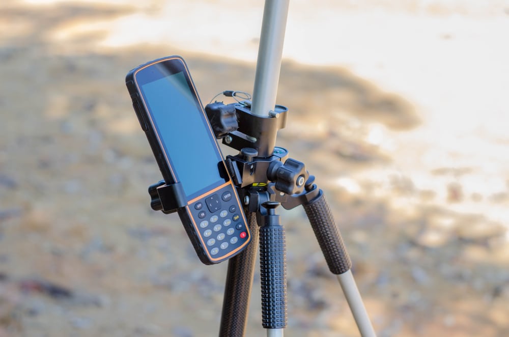
Geospatial surveying is about collecting, processing and managing locational (or spatial) information to produce maps, plans and 3-dimensional models and analyse spatial data for evidence-based decision-making. Moving into the future, it has a multitude of applications, including AR and VR, with career options in all areas that use location-based information, including – surveying, engineering, architecture, planning and data analytics, amongst others.
Geospatial Surveying at TU Dublin
Dr Barry McAuley, Head of Geospatial Surveying and Digital Construction, said
Organisations need data to understand their business models. If you’re the one creating that data, you’re always going to be at the forefront of these organisations
Students use state-of-the-art laser scanning, satellite data, drones and other advanced surveying and computing equipment to model, analyse and manage location-based information. This degree opens up lots of exciting career opportunities at home and abroad.
Check out the video or contact Barry.Mcauley@TUDublin.iefor more information.


This course has been cancelled in September 2023, there is no geospatial surveying degree course in Ireland.